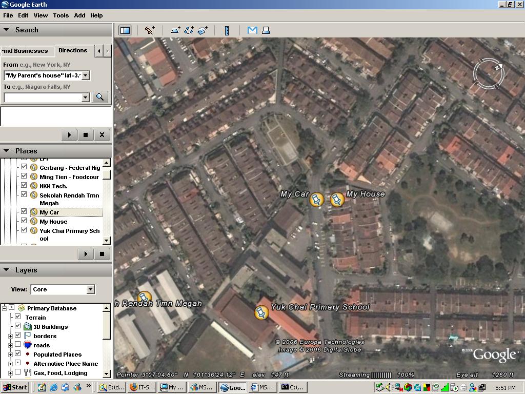
I was doing a proposal for a project and was looking into Google Earth and guess what ? I found my house ..
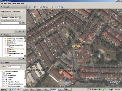
It wasn't an easy job because it(Google Earth) only gives you the 2D view.. I had to start from somewhere I was familiar with (KL Sentral) and traced it down using the LRT routes.
It was fun experience to really try to identify places out of Google Earth, especially when you get to know about information such as what are the shapes of swimming pools for condominiums around the map. Or at times, you may be amazed by how much distance you had covered for the last 10 years!
Anyway... to know about Google Earth in nutshell... the best way is to read through the official blog.. The Google Earth Blog.
And after reading the following entry, I realized two things about Google Earth.
http://www.gearthblog.com/blog/archives/applications/
Google Earth has a good interface for doing two things:
1. Use it to create GIS data to be exported to other applications for other functions.
2. Import data from other applications to present it using Google Earth interfaces.
For your information, the director of Engineering for Google Earth was ex-NASA and thus I would guess that it is not easy to come up with such interface!
To understand more about Google Earth, try to start with what others had thought about possible applications using it.
Google Earth Applications.
For nutshell conclusion, Google Earth may covers:
Comments
» » »